Countywide Plan
The Countywide Plan for Pinellas County (CWP) guides land use planning among the 25 local governments and partner agencies in Pinellas County. The CWP supports redevelopment, directing higher-density redevelopment into activity centers and multimodal corridors that can support a variety of transportation modes, while preserving and enhancing the suburban character of established neighborhoods. It also protects land needed to support employment, helping to keep high-wage jobs in our community. The development of the CWP was closely coordinated with the LRTP and planned investments in the transportation system.
The new Countywide Plan consists of three major components:
- The Countywide Plan Strategies, which provide the policy basis for the entire plan;
- The Countywide Plan Map, with which local government land use plans must be consistent; and
- The Countywide Rules, which contain regulations governing implementation and amendment of the Countywide Plan Map.
The updated LRTP and CWP are the result of a nearly four-year collaborative process between Forward Pinellas and all 25 local governments, along with our partner agencies, community stakeholders, advisory committees, and the Board of County Commissioners in their role as the countywide planning authority. The plans build on more than a decade of outreach to citizens and the business community about their vision for the future of our shared Pinellas community.
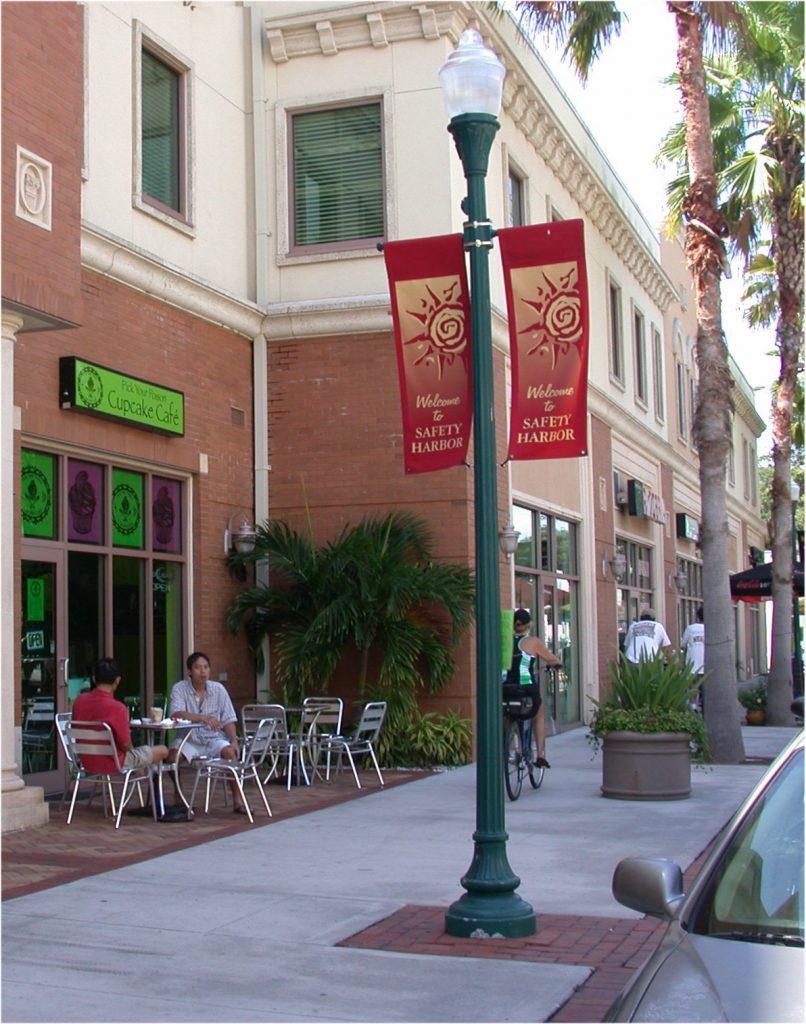
The network of activity centers and multimodal corridors envisioned by the LRTP and CWP will provide for more transportation and lifestyle options, keeping the county attractive to businesses, workers, and visitors. Compact development, mixed uses, and interconnected streets will allow for convenient walking, bicycling, and transit use, creating places of special value to the community and providing new mobility options.
Advantage Pinellas: Long Range Transportation Plan
Advantage Pinellas is a strategic plan to improve mobility and economic opportunity countywide. As a metropolitan planning organization, Forward Pinellas determines what transportation projects should receive state and federal funding in Pinellas County with its long range plan.
The plan identifies the major transportation needs for our communities and enables them to receive critical funding in the future – without inclusion in the plan, a transportation project cannot be eligible for this funding resource and may not be built. Forward Pinellas creates a new Long Range Transportation Plan every five years. The newest Long Range Transportation Plan is the Advantage Pinellas plan.
Advantage Pinellas: Active Transportation Plan
Pinellas County is home to many eclectic neighborhoods, thriving downtown, sugar sand beaches, pristine natural habitats, and has a strong economic base of manufacturing and corporate headquarters. Our residents and visitors expect robust, efficient, and cost-effective multimodal transportation facilities and services that are connected to various destinations.
By 2040, Pinellas County is projected to add over 63,000 new people and over 49,000 new jobs. That is a significant amount of growth given the changing landscape of development and redevelopment activity in a largely built-out county. Part of the mobility strategy for accommodating this growth is to plan for more strategic investments in pedestrian and bicycle networks to serve a wide variety of trip purposes.
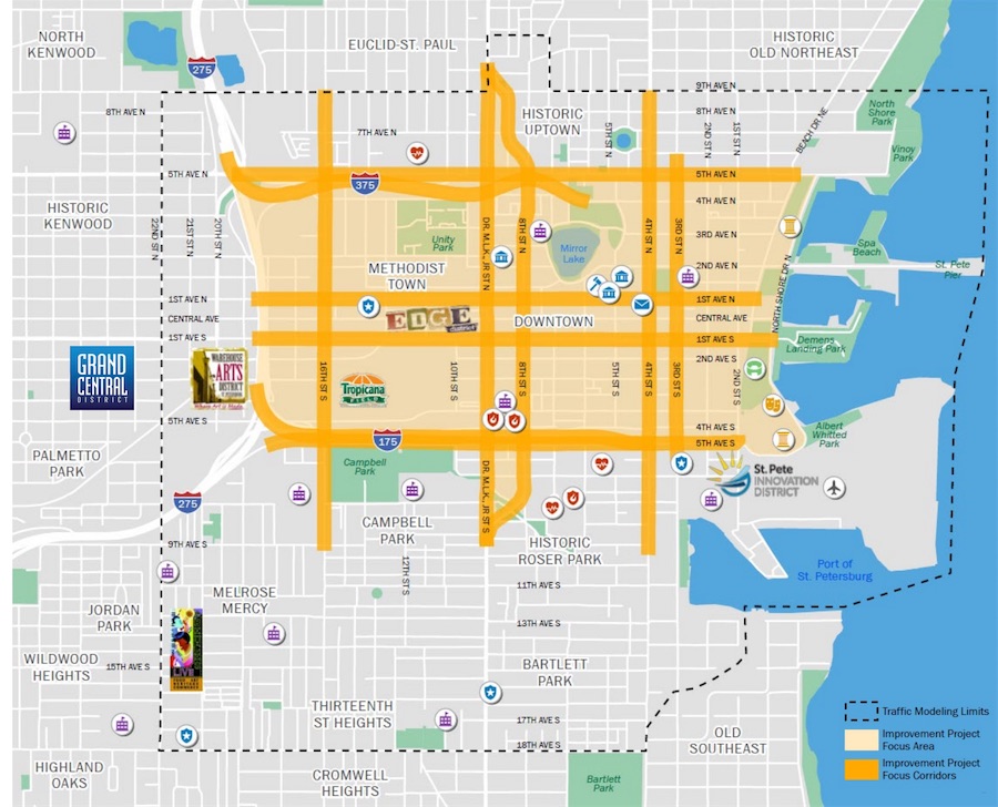
Downtown St. Petersburg Mobility Study
As one of Florida’s most unique and vibrant communities, demand for office, housing and services in downtown St. Petersburg, or DTSP, continues to grow. At the same time, people are looking for more ways to travel in and around the community in a safe and efficient manner. Therefore, now more than ever, it’s critical to understand the ways in which the transportation network can help meet the area’s growing needs for improved access, connectivity, and mobility.
Forward Pinellas, the City of St. Petersburg, and the Florida Department of Transportation (FDOT) worked together on an analysis of the Downtown St. Petersburg transportation network as part of the Downtown St. Petersburg (DTSP) Mobility Study.

Safe Street Pinellas
Safe Streets Pinellas is a collaborative effort to create a transportation system that is safe for everyone. Our goal is for no one to be killed or seriously injured using the roadways in Pinellas County.
Over the last year, Forward Pinellas studied where we’re seeing concerns on our roadways and why these crashes are happening. We’ve also held several demonstration projects to test ways we could make our roads safer, such as exploring new technology and educational outreach. Now we’ve created an Action Plan that will guide our steps as we work toward ensuring everyone is safe on our roadways in Pinellas County.
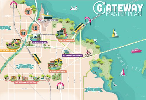
Gateway Master Plan
The Gateway/Mid-County area is about 30 square miles. It is the primary economic engine of Pinellas County and the Tampa Bay region. The area includes four local government jurisdictions and is home to a large number of higher wage jobs and young professionals because of its accessibility to regional highways, downtown St. Petersburg and destinations in Tampa, yet it suffers from the challenges of a disparate, disconnected and disinvested automobile-centric development pattern.
A well thought-out plan for multimodal connectivity is needed. This will create an opportunity to preserve the investments made in the area’s regional highway network, take pressure off the surface roadways, and foster more efficient, compact development.
Transportation Disadvantaged Service Plan
The Transportation Disadvantaged (TD) Program in Pinellas County consists of three main elements for providing transportation services: a bus pass program, door-to-door trips, and agency trips. The Pinellas Suncoast Transit Authority (PSTA) is the current Community Transportation Coordinator (CTC) and is responsible for running the day to day services provided by the TD Program. PSTA also coordinates with other agencies in the transportation system, including those receiving Transportation Disadvantaged funds and those receiving Federal Transit Administration (FTA) Section 5310 funds. PSTA not only runs and coordinates the TD Program but is continuously exploring ways to improve transportation services for the transportation disadvantaged.

SR 60 Multimodal Implementation Plan
Forward Pinellas began the SR 60 Multimodal Implementation Plan in 2016 with agency partners Pinellas Suncoast Transit Authority, City of Clearwater, Pinellas County, and the Florida Department of Transportation. The purpose of the plan was to identify short and long-term improvements for enhancing safety and mobility. Stakeholder coordination and public input shaped the plan, including public workshops, meetings with community groups, and local government presentations.
This plan focused not only on S.R. 60 (also called Court Street, Chestnut Street, Memorial Causeway, Gulf to Bay Boulevard, Courtney Campbell Causeway, and Memorial Highway) but also on the parallel roads of Drew Street, Cleveland Street, and Druid Road as well as the north-south connections between them. The study evaluated options for safe and efficient transportation, primarily between McMullen Booth Road and Clearwater Beach.
Inactive Plans
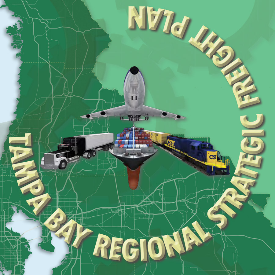
Tampa Bay Regional Strategic Freight Plan
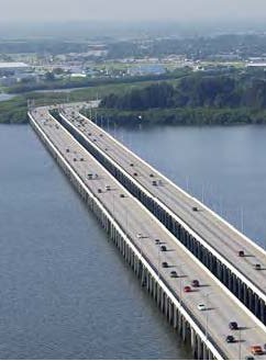
Transportation is about more than moving people. It’s also about moving the goods and supplies that support the Tampa Bay region’s economy. The freight transportation system consists of highways, railroads, airports, ocean shipping channels, pipelines, and truck routes that deliver raw materials to manufacturers, food to grocery stores and restaurants, fuel to power plants, medicine to hospitals, and packages to offices. The region’s economy simply would not function without the freight transportation system. The Tampa Bay Regional Strategic Freight Plan recognizes the connection between freight and the region’s economy, and identifies strategies that will help move freight efficiently from freight activity centers (FACs) in the region while minimizing negative effects on neighborhoods.

Pinellas County Pedestrian Safety Action Plan
The Pinellas County Pedestrian Safety Action Plan (PSAP) approach was based on the PSAP Template developed with funding and assistance from the Federal Highway Administration (FHWA) in close cooperation with the University of North Carolina’s Highway Safety Research Center. Florida Department of Transportation (FDOT), FHWA advisors, and other pedestrian stakeholders applied the PSAP Template to suit the needs of Pinellas County. The purpose of the PSAP is to help local government agencies focus on the pedestrian crash issues specific to their jurisdiction, provide a set of proven strategies for consideration, and help practitioners understand the tools and organizational changes necessary to implement these strategies.