By Nousheen Rahman, AICP, and Dana L. Santos, MPH/MA
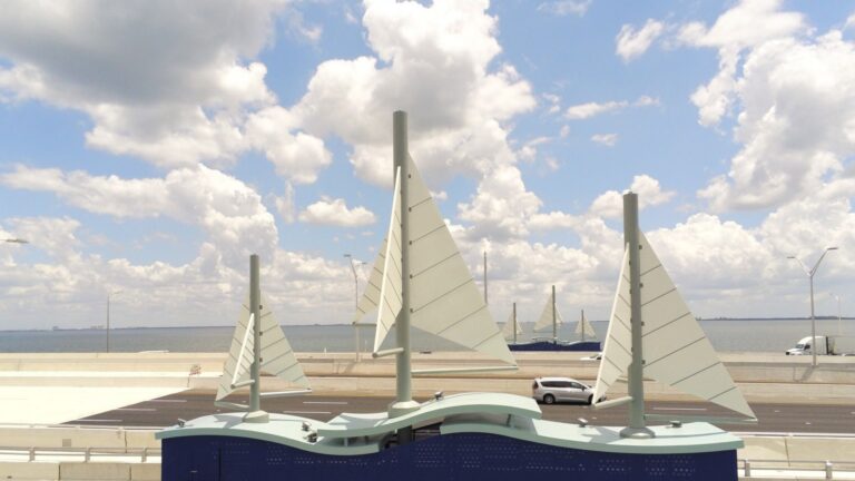
Forward Pinellas tracks the impacts of transportation advancements by gathering data to identify changes in safety and traffic flow for all road users in the county. The Gateway Expressway, which opened in April 2024, is a significant transportation project for our county and the Tampa Bay region. It is comprised of tolled express lanes connecting U.S. 19 and the Bayside Bridge to I-275 and tolled express lanes on I-275 between Gandy Boulevard and 4th Street North. The expressway provides elevated roadways for travel within Pinellas County to relieve congestion on local surface roadways and streamlines connection between Hillsborough and Pinellas Counties.
Building on the 2020 Gateway Master Plan and following the opening of the Gateway Expressway, Forward Pinellas and the Florida Department of Transportation (FDOT) studied mobility and accessibility within the Gateway area. According to our data, the Gateway Expressway has reduced traffic congestion on surrounding local roads in Pinellas County. This provides potential opportunities to improve safety and mobility on these roadways for drivers, bicyclists, pedestrians, and transit users.

To assess impacts of the Gateway Expressway, Forward Pinellas studied mobility and the ease of access for road users in the Gateway Area, looking at the changes to the surface roadways beneath and around the elevated Gateway Expressway and identifying potential opportunities for improving mobility for all road users. Data was collected from traffic counts conducted in November 2024 and from Forward Pinellas’ internal databases.
Reduced Traffic
Traffic counts were conducted at nine locations to determine impacts of the Gateway Expressway on local traffic:
- Ulmerton Road, east of 62nd Street
- 49th Street, north of 140th Avenue
- Ulmerton Road, east of 49th Street
- 49th Street, south of 126th Avenue
- 49th Street, north of 118th Avenue
- 118TH Avenue, east of 40th Street
- Ulmerton Road, west of Egret Boulevard
- Roosevelt Boulevard, west of Lake Carillon Drive
- Roosevelt Boulevard, east of Lake Carillion Drive

Our data shows traffic counts decreased at seven of the nine aforementioned locations. The two exceptions include 49th Street north of 118th Avenue and 118th Avenue east of 40th Street.
Traffic Modeling
As a planning agency, Forward Pinellas also utilizes traffic modeling tools to project the future impacts of transportation improvements out to 2050. When comparing future traffic projects both with and without the Gateway Expressway, the new toll road is projected to continue to absorb traffic that would have otherwise driven on surface roadway, such as Ulmerton Road, 118th Avenue and 126th Avenue.
Our data collection efforts and modeling exercise both reinforce the positive impacts that regional connections, such as the Gateway Expressway, can have on local and surface roadways. Forward Pinellas is committed to ongoing monitoring of roadways in the Gateway area and partnership with our local governments to identify ways to improve safety and mobility for all road users.
To learn more about the Gateway Expressway, visit: https://www.fdottampabay.com/project/235/433880-1-52-01
For questions, please contact Nousheen Rahman at nrahman@forwardpinellas.org or 727-464-5693.