Select Languages:

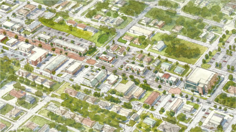
Forward Pinellas adopts a Transportation Improvement Program (TIP) annually to ensure that the county is eligible to receive state and federal funding for transportation projects. Examples of the types of projects in the TIP include: new construction, reconstruction, capital purchases, and maintenance work associated with roads, sidewalks, trails, transit services, airports, and the port, and the Transportation Disadvantaged Program.
A sample of included projects are presented below. The full TIP, including all proposed projects, will go to the Forward Pinellas Board for approval at the June 9, 2025 Board Meeting.
*This project summary table does not include projects such as transit, drainage work, landscaping, railroad crossings, and routine maintenance and repairs.
Click each heading to learn more.
Bridge repair/rehabilitation
A new roadway that runs from US 19 (SR 55) to E of 28th St N.
Expected to be completed summer of 2025. At-grade intersection treatments to improve the safety and operations of the Pinellas Trail Loop crossing.
Click each heading to learn more.
The new bridge will consist of eight lanes with four general use lanes, four express lanes, and a separated bicycle/pedestrian pathway.
More information: https://www.fdottampabay.com/project/417/422904-2-52-01
Bicycle/pedestrian overpass connecting the CCC trail with Bayshore.
More information: https://www.fdottampabay.com/project/488/437498-1-52-01
Repurposing of the roadway space to provide wide sidewalks, on street parking, roundabouts, reduced lane widths and enhanced crossings.
More information: https://www.fdottampabay.com/project/978/447535-1-52-01
New transit station for cyclists, pedestrians, and transit riders to connect to multiple transit routes within the PSTA system and the Pinellas Trail Loop.
More information: https://www.psta.net/about-psta/projects/clearwater-station/
Safety and operational improvements to the intersection that will incorporate changes to signal timing and an improved crossing for the Pinellas Trail Loop.
More information: https://www.fdottampabay.com/project/1037/448486-1-52-01
Click each heading to learn more.
The purpose of the study is to identify operational, safety and multimodal improvements along the corridor.
SR 60/Courtney Campbell Causeway roadway is designated as an evacuation route by the Florida Department of Emergency Management (FDEM) and is used to evacuate residents before and return after hurricanes and other emergency evacuations. Thus, additional considerations include enhancing capacity and traffic flow and improving resiliency, such as raising the elevation of the roadway and applying a combination of armoring techniques to withstand weather events (flooding, waves, etc.).
Construction of curb extensions at three unsignalized intersections along Central Avenue along: 21st St., 23rd St. and 27th St.
Most of the funded priority projects are located in the high-injury network. Forward Pinellas identifies roadways with the highest rates of fatal and serious injury crashes. Hotspot locations are determined to focus improvements on roadway segments and intersections where crashes occur most frequently—particularly those involving vulnerable roadway users.
Forward Pinellas identifies travel reliability in major roadways with the purpose to strategically invest in improvements to address traffic flow, safety, and overall efficiency. On the map above, Level of Service “LOS” is a letter grade system representing road operating conditions (A , B, C, D, E, & F), where A represents free flow traffic and F represents near gridlock.
View the previous TIP: https://forwardpinellas.org/blog/state-of-the-tip-sneak-peak-of-the-2024-2025-transportation-improvement-program/
Send Public Comments to info@forwardpinellas.org.
Note: This search only includes current posts.
To access blog content from 2022 and older, please visit: The Archive.