By Whit Blanton, FAICP, and Kyle Simpson, AICP
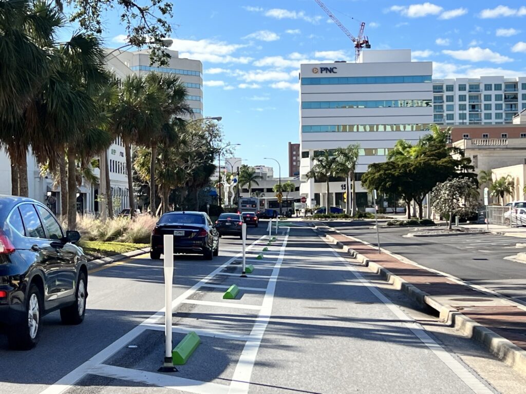
With nearly one million residents and about 15 million annual visitors, transportation is a frequent topic of conversation in Pinellas County. There are many priorities that must be evaluated and balanced with every transportation project such as safety, travel times, access for people walking, bicycling, driving, and taking transit, and economic development. Sometimes the best option to realize a community’s desired outcome for a roadway includes counterintuitive solutions, such as repurposing an existing travel lane to another use. Like all changes in transportation, lane repurposing can elicit concern because it results in a change to established travel patterns. In this post, we will dive into why lane repurposing is a tool in the toolbox, general parameters around when they are, and are not, a viable option, and why it has been applied to some projects around Pinellas County.

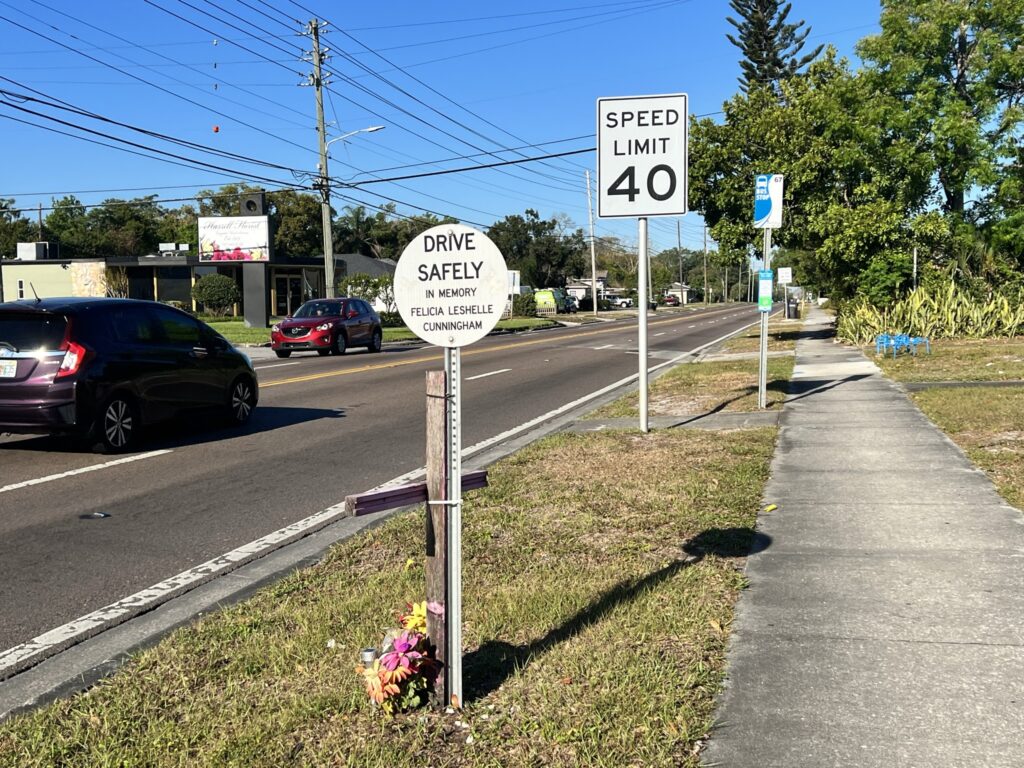
A primary component of every transportation project is safety. Every day in Pinellas County two people are seriously injured or killed on our roadways, with people outside of vehicles overrepresented in those crashes. In 2021, the Forward Pinellas board adopted the Safe Streets Pinellas Action Plan, which aims to eliminate all serious injury and fatal crashes in Pinellas County by 2045. Since its adoption, the plan has been endorsed by 23 of the 25 local governments in Pinellas County. In recognition of the outsized influence speed plays in crash severity and the reality of limited capital funding and space for additional right-of-way, lane repurposing is included as one of the tools available in the plan.
At Forward Pinellas, we strive to maintain effective partnerships with state and local governments. A lane repurposing proposal typically starts with a request from a local government to evaluate a roadway corridor. Reasons for the request typically include to improve safety, make it easier and more comfortable for people walking or bicycling to reach businesses or transit stops on either side of the road, and create an environment that people travel to rather than through. Each year, our Call for Projects solicits project concepts and ideas for potential funding.

How Forward Pinellas, as the Pinellas Countywide Transportation Planning Agency, Evaluates Potential Lane Repurposing Projects
Function of a Corridor in Relation to the Surrounding Roadway Network
When considering a lane reallocation, we begin by analyzing the corridor’s function and role in the overall roadway network. Considerations include examining the existing and proposed land use characteristics to see if substantial redevelopment is likely and identifying parallel corridors capable of handling some non-local traffic. State Road 590, also known as Drew Street, cuts through a residential neighborhood and only became a state-maintained 4-lane road to manage traffic flow during construction as the state widened nearby Gulf-to-Bay Blvd (SR 60) in the 1980s. Read more about Drew Street’s lane repurposing on our blog Right-Sizing Drew Street for Safety, Accessibility and Mobility. US 19 (34th Street in St. Petersburg) became a six-lane roadway before the construction of Interstate 275 immediately to its east, which shifted traffic away from the corridor. State Road 580, known as Skinner Blvd. in downtown Dunedin, bisects the City’s redevelopment area and crosses the Pinellas Trail in an urban setting.
Crash Data
Crash data is another important metric to evaluate, including crash frequency, types of crashes, and contributing factors, such as speeding, intoxication, and weather. We use this data to determine whether crashes can be reduced by engineering and design solutions. Through Safe Streets Pinellas, we have defined a “High Injury Road Network” (HIN) where the most serious injury and fatal crashes occur. Most (87%) roadways on the HIN have a speed limit of 40 mph or higher, a speed at which a person walking only has a 10% chance of surviving a crash. On Drew Street west of Keene Road there were more than 500 crashes from 2016 to 2021, many involving serious injuries, and two fatalities. In 2022, there were 592 serious injury crashes and 115 fatal crashes on Pinellas roadways, with 102 of those involving people walking and 77 involving people bicycling. The National Highway Traffic Safety Institute (NHTSA) estimates that traffic crashes cost Americans $340 billion in 2019 alone, or roughly $1,035 per person. With quality-of-life considerations added, that number grows to $1.4 trillion annually.
Traffic Flow and Road Capacity
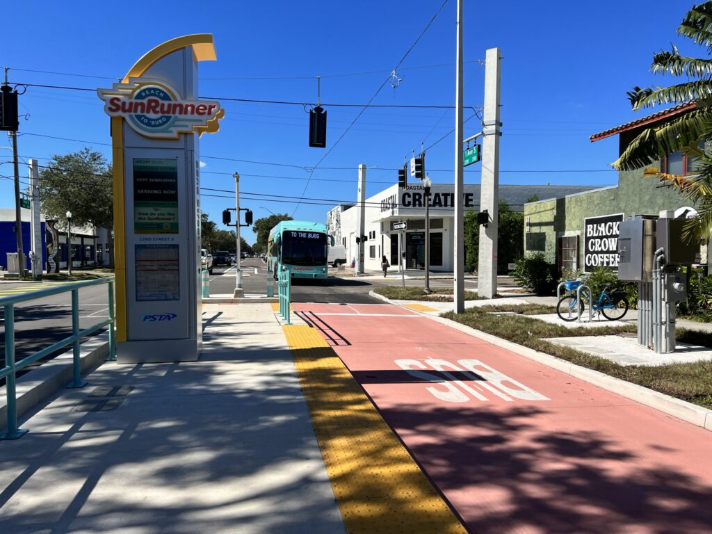
We also consider traffic flow and capacity by examining historical traffic counts and projections to determine trends. Countywide, we see that roads with significant excess capacity have high rates of excessive speeding, which leads to more severe and fatal crashes. In the case of 34th Street, daily and peak period traffic counts are less than half the capacity for an urban arterial roadway. Similarly, for 1st Avenue North and 1st Avenue S where the high-capacity SunRunner bus operates, the daily traffic volume of 14,000 is less than half of each roadway’s capacity of about 31,500 vehicles per day. On Skinner Blvd., traffic counts are well below the 4-lane roadway capacity.
Demographics
Other factors we consider are the income, economics, and demographics of residents within the corridor, locally adopted citywide or district plans, and whether there are other mobility goals for the corridor, such as wider sidewalks with a buffer from the roadway to facilitate increased patronage of local businesses or a future premium transit service. Based on the demographics and needs of the local community, design changes can be altered or adopted to create the best facility for the context. In neighborhoods nearby commercial, recreation, and civic destinations, people can substitute walking and bicycling for a car trip, making the neighborhood more affordable. We consider the barriers that under capacity high speed unsafe roadways present to those opportunities.
Public Support
Finally, we need to determine whether there is sufficient public support. While the State of Florida’s lane repurposing process requires a public meeting and a letter showing local government support, we typically go far beyond that by conducting surveys of residents, businesses, and users of the corridor, holding in-person and virtual meetings to discuss plans and get feedback on potential strategies, and meeting individually with key stakeholders and members of the public who are directly affected by potential strategies and other changes.
Consistency with Local Government Planning Guidelines
For every project Forward Pinellas advances as a priority for funding we require a local resolution or signed letter of support. Transportation projects in the Long Range Transportation Plan must be consistent with local government comprehensive plans. For a project to receive funding, it requires public votes by the Forward Pinellas’s Technical Coordinating Committee, Citizens Advisory Committee, and board. Those votes are public record and the board’s votes occur as part of an official public hearing.

Lane repurposing is a legitimate transportation strategy for improving safety and comfort for people walking, bicycling, driving, and taking transit, fostering economic development, and supporting local businesses. It is not a coincidence that some of the most cherished and economically vibrant areas of Pinellas County are all areas that have primarily low-speed roadways with wide, buffered sidewalks. Transportation projects take time and serious consideration– typically five to 10 years from concept to construction – and that means important local decisions need to stick. A commitment for a specific transportation solution needs credible data and clear public support to withstand election cycles, turnover in community advisory boards, and potential design modifications. That’s what makes transportation planning both fun and an enduring challenge.


